
Magnitude-3.4 Earthquake Shakes Redlands Area, According to USGS
Magnitude-3.4 Earthquake Shakes Near Redlands
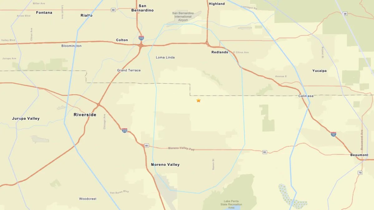
A magnitude-3.4 earthquake occurred near Redlands on Friday evening, according to the U.S. Geological Survey (USGS). The tremor struck approximately 4.3 miles south-southwest of the San Bernardino County city at around 6:40 p.m.
Reports indicate that light shaking was felt in Redlands, as well as in neighboring areas including San Bernardino, Rialto, Riverside, Moreno Valley, and Jurupa Valley, as confirmed by the USGS’s "Did You Feel It?" tool.
Curiously, this seismic event followed a magnitude-3.1 earthquake that struck about 4 miles southeast of Loma Linda just over 12 hours earlier.
Understanding Earthquake Intensity
The likelihood of feeling an earthquake varies based on three main factors: magnitude, distance from the epicenter, and local soil conditions. Magnitude refers to the earthquake’s strength, while proximity to the epicenter increases the perceived intensity. Areas with looser soil may experience amplified shaking.
Potential Aftershocks
Aftershocks are common following an earthquake. If a larger quake follows the initial one, it reclassifies the first event as a foreshock. Historic context includes the magnitude-9.1 earthquake and tsunami in Japan in 2011, which had a magnitude-7.3 foreshock just two days prior.
While aftershocks generally decrease in frequency over time, they can persist for days, weeks, or even longer.