
Santa Ana Winds Kick Off Southern California’s Weather Changes Before New Year’s Rainstorm
High Wind Warning Issued for Southern California as Santa Ana Winds Intensify
LOS ANGELES – The National Weather Service (NWS) has issued a High Wind Warning for various regions across Southern California during this significant Santa Ana wind event, anticipated to reach its peak on Tuesday.
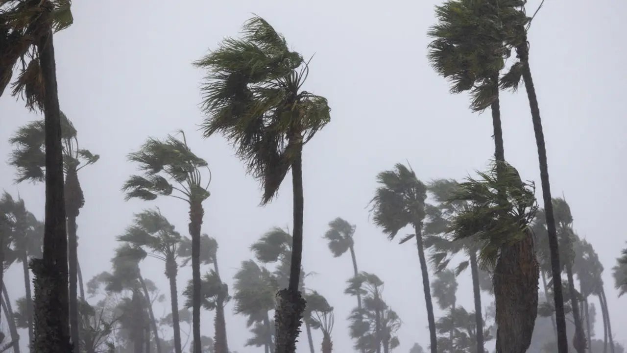
The warning signifies that damaging gusts between 55 and 85 mph are expected in the mountains of Los Angeles County and the Santa Susana Mountains. Other wind corridors across Los Angeles and Ventura counties could see gusts ranging from 35 to 55 mph. The High Wind Warning remains in effect until 3 p.m. Monday for several areas, including the I-5 corridor, the Santa Susana and Western San Gabriel Mountains, the Highway 14 corridor, and the Western Santa Monica Mountains Recreational Area.
The NWS has also issued similar alerts for the mountain and valley regions of San Bernardino and Riverside counties, as well as the Santa Ana Mountains. With saturated soil from recent rainfall, the risk of downed trees and power lines is elevated, raising the potential for widespread power outages and hazardous travel conditions—particularly for high-profile vehicles.
"Damaging winds could blow down trees and power lines, leading to possible widespread outages," the NWS warned. Additionally, officials noted that the combination of wet soil and high winds increases the likelihood of tree damage.
A slight weakening of the winds is forecasted for Tuesday, paving the way for another round of rain that is expected to usher in the new year.
According to the NWS, while Santa Ana winds usually bring warmer temperatures due to downsloping effects off the mountains, current conditions featuring cold air advection may temper this warming, especially in inland areas.