Los Angeles Welcomes the New Year with Rain: What to Expect and When
Rainstorm Hits Los Angeles as December Draws to a Close
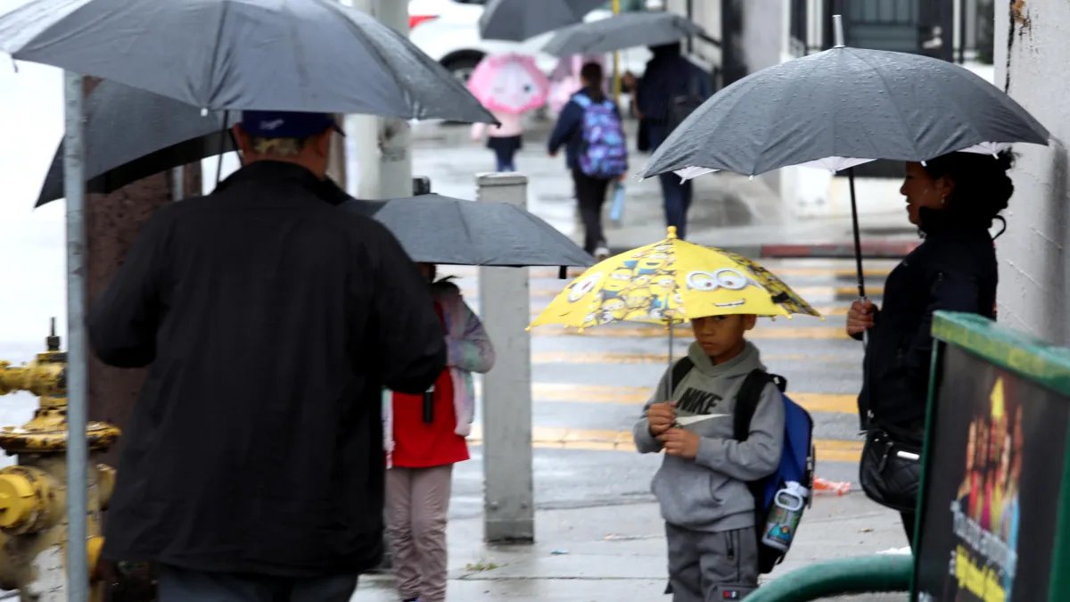
As December nears its end, Los Angeles is set to experience one final round of rain, with significant precipitation expected leading into New Year’s Day. The storm threatens to disrupt the annual Rose Parade in Pasadena, where wet weather is anticipated for participants and spectators alike.
Key Details Ahead:
- A new storm system will bring rain to the Los Angeles area on New Year’s Eve, with widespread effects on January 1 for the Rose Parade.
- The heaviest rainfall is forecasted overnight into Thursday morning, with additional scattered showers on New Year’s Day.
- Evacuation warnings are now in effect for wildfire burn zones in Los Angeles County.
- Flash flood watches are also in place across large parts of Southern California.
- Several mountain roads remain closed due to damage from a previous storm and the potential for further rockslides.
The upcoming rainfall is not expected to be as severe as last week’s storm, which resulted in days of rain and flooding across the region. However, it will contribute to already saturated hillsides in wildfire-affected areas and could impact the roads and freeway conditions.
Thursday’s storm is set to bring rain for those camping overnight along the Rose Parade route. This year marks the first rainy Rose Parade in 20 years, a noteworthy fact, considering that it has rained only ten times throughout the event’s history.
Evacuation warnings, which advise residents to prepare for possible evacuation orders, will be in place starting at 11 a.m. Wednesday. Areas affected include burn scars from the Eaton Fire in Altadena and the Palisades Fire, with warnings expected to last until Thursday night.
The California Governor’s Office of Emergency Services has begun pre-positioning emergency resources and personnel in areas susceptible to flooding and debris flows.
Ongoing road closures include sections of State Route 2, as well as routes in Ventura County and around the Tejon Pass. Weather officials urge caution, especially in regions that are still recovering from previous storms, as the continued rainfall poses risks of mudslides and debris flows.
Weather Timeline:
- Wednesday: Light showers are expected to start earlier in the day, becoming widespread by the afternoon.
- Thursday: The heaviest rainfall is anticipated early in the morning, coinciding with the Rose Parade, where campers are already settling in. Following the parade, while there may be a brief lull, the likelihood of lingering showers continues into the afternoon, affecting the Rose Bowl game scheduled for 1 p.m.
- Rainfall predictions estimate between 1 to 3 inches for most areas, with higher totals of 2 to 5 inches in mountainous regions.
As this storm approaches, residents remain on alert, particularly those living in areas recently affected by wildfires, as the saturated ground raises concerns for further geological instability.