
February 17 Rainfall Totals for Los Angeles
Los Angeles Weather Update: Heavy Rain and Flood Warnings Ahead
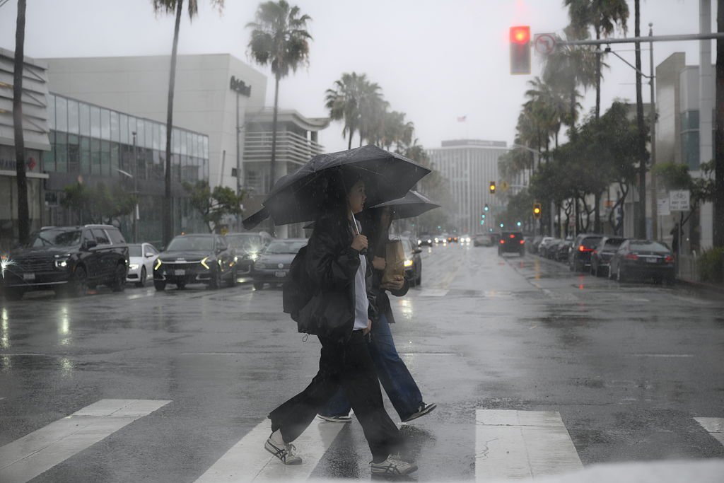
LOS ANGELES – Southern California is bracing for severe weather as a powerful winter storm impacts the region. Following a significant storm on Monday, a new system is expected to hit Los Angeles Tuesday night, prompting a flood watch from 6 p.m. to 6 a.m. Wednesday, with particular concern for mudslides in areas scarred by previous wildfires.
Meteorologists anticipate temperatures to drop significantly, bringing snow levels down to 3,000 feet by Wednesday morning, potentially affecting travel through mountain passes like the Grapevine. Topanga Canyon Boulevard remains closed due to mudslides, and coastal regions are under high surf advisories until Friday.
Current Conditions and Warnings
The National Weather Service (NWS) issued flash flood warnings for millions across Los Angeles County as rain continues to pour, with coastal and valley areas expecting 1 to 3 inches of rain, while mountains may see between 2 and 5 inches. Areas affected by last year’s wildfires are particularly vulnerable, prompting evacuation warnings.
"With rain intensifying, residents in foothill communities must prepare for potential flash flooding and debris flows," stated an NWS representative.
Impacts on Local Areas
On Monday, significant flooding was reported in parts of Sun Valley, North Hollywood, Burbank, and San Fernando, creating hazardous driving conditions across the region. Several roads, including a troublesome intersection in West Los Angeles, faced severe flooding, resulting in stalled vehicles.
Rainfall totals indicate Avalon received 1.79 inches, Beverly Hills saw 1.95 inches, and Malibu registered 2.79 inches. With rain continuing, the NWS warns totals could accumulate to between 0.75 and 1 inch in coastal and valley areas, and 2 to 2.5 inches in mountain regions overnight.
Upcoming Weather Forecast
Looking ahead, another storm system is projected to arrive Thursday, raising concerns of further rain and snow. A wind advisory has already been issued for the Antelope Valley due to expected gusts of up to 50 mph, with stronger winds forecasted overnight.
Residents are advised to take precautions, such as clearing drainage and monitoring burn scar areas for potential hazards. With nighttime lows expected to drop into the 30s in mountainous regions, ensuring safe travel conditions is crucial.
The arrival of this storm follows a dry January, which saw low precipitation levels across much of the West, heightening the significance of the current weather pattern.
As local authorities continue to assess and respond to the ongoing weather situation, residents are urged to remain vigilant and prepared for rapidly changing conditions.